Public Life and Neighborhood Vibrancy
The field of Public Life and Public Space study has grown and evolved enormously since Jan Gehl and his students at the Royal Danish Academy introduced the practice in Copenhagen in the 1960’s. Jan and his students' work have influenced generations of architects and urbanists. The Gehl practice continues to carry on the tradition of using ethnographic research into the way that people move, play, and inhabit urban space to inform human-scale planning and design.

A Places for People volunteer conducting an intercept interview in Vancouver, BC
Today, many of the world's most successful and livable cities routinely monitor pedestrian, bike, transit, and vehicular movements and activity in order to make more informed decisions about public realm and transportation investments. Understanding public life and public space quality is also of primary importance to public space and ground floor retail design, programing, and maintenance organizations like Business Improvements Districts and Downtown Associations who use public life and space data to evaluate the health and vitality of their districts. Urban Field Studio Partner John Bela has led numerous Public Space and Public Life studies from Vancouver, Canada to Pittsburgh, Pennsylvania to most recently, Downtown San Francisco.

Downtown Santa Monica, Inc. (DTSM) continuously monitors pedestrian activity on the Third Street Promenade
When Downtown San Francisco needed to understand where and how to guide investment in a district reeling from covid-19 and then the disruptions due to hybrid work and office vacancy, they engaged John Bela (in collaboration with Sitelab Urban Studio and Fehr and Peers) to bring their combined urban design, transportation planning, and public life study experience to bear on understanding the district patterns of life and activity today, and to guide a vision for the district’s future. John led a targeted public space and public life assessment in the district, observing activity, analyzing public space and ground floor character, and talking to people about their perception of the district to guide the first-of-its-kind road map in San Francisco, a downtown Public Realm Action plan. The Plan is a blueprint for ground floor and public realm investment, coordinating City-led and private sector initiatives to result in a better outcome for people and to catalyze a new life as a mixed use, 24-hour district.

The Downtown Public Realm Action plan is one of several initiatives underway to catalyze San Francisco’s downtown recovery, including a new initiative from the Office of Economic and Workforce Development (OEWD) and the San Francisco Planning Department to Spur Conversions of Underutilized Office Buildings.
Using insights from popular location analytics platforms such as Strava Metro, Placer.ai, and Replica and combining these with lived experience data (the observed and recorded activities on the ground) traditional and contemporary tools come together to understand public life and public space character and quality in novel ways. Using these insights and unpacking the stories behind them can give your neighborhood, district, or City the competitive edge it needs to adapt to changing circumstances and to guide strategic investments in the built environment.
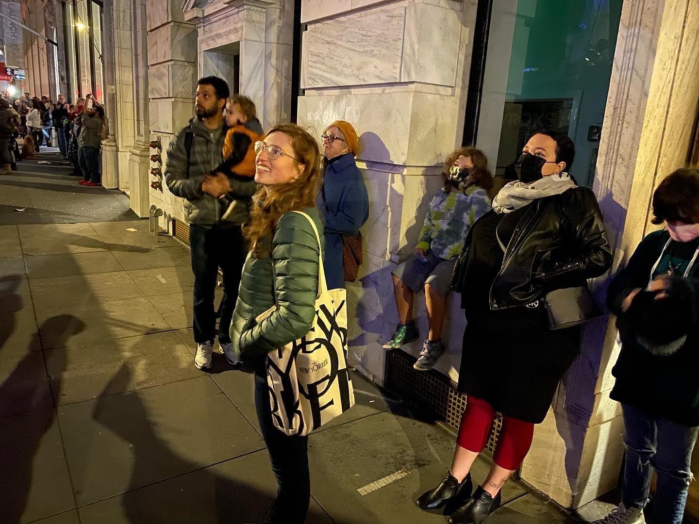
The Downtown SF Partnership’s Let's Glow SF event generated a huge increase in nighttime pedestrian activity and 3M in economic investment